
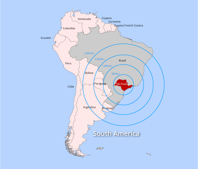
Strategic Location
The State of São Paulo is one of the most important poles of development in the Southern Hemisphere. Its area of influence far surpasses its geographical boundaries, extending throughout all the other Brazilian states and several countries in South America. The Metropolitan Area of São Paulo, the fourth largest urban agglomeration in the world, is the heart of Brazil's industrial, services and commercial activities. This privileged position, allied to the weight of the economic activity in the State's rural area, creates a set of factors, which make São Paulo an extremely promising location for all types of investment.
Geography
Situated in the Southeast Region, the State of São Paulo shares its borders with the state of Minas Gerais, Mato Grosso do Sul, Paraná and Rio de Janeiro. Representing 3% of the Brazilian landmass, it occupies an area of 248,200 km². Its 622 km of coastline is bathed by the Atlantic Ocean. The State's occupies a time zone of GMT minus three hours.
According to the 2016 statistics released by the State Data Analysis System Foundation (Seade), the State of São Paulo has a population of 43 million inhabitants, making it the most populous state in Brazil and one of the most densely populated, with approximately 175 inhabitants per square kilometer, compared with a national average of approximately 24 inhabitants per km².
There are 645 municipalities in the State of São Paulo, organized throughout 16 administrative regions. Its regional dynamic constitutes a network of cities that comprises, in the upper layers of its hierarchy, a group of metropolis and urban agglomerations that concentrate 77.4% of the state's population (Seade – 2016).
Six Metropolitan Regions make up this structure: São Paulo (20.6 million inhabitants), Campinas (3.1 million inhabitants), Vale do Paraíba e Litoral Norte (2.4 million inhabitants), Sorocaba (2.0 million inhabitants), Baixada Santista (1.8 million inhabitants) and Ribeirão Preto (1.6 million inhabitants). Moreover, there are two urban agglomerations in the State: Jundiaí (761,000 inhabitants) and Piracicaba (1.4 million inhabitants) - (Seade - 2016).
Hydrography
The majority of the State is situated in the Hydrographic Basin of the Rio Paraná, of which the Rio Grande is most notable, in addition to affluents like the River Tietê and the Paranapanema. Other important rivers in the State are the Turvo, the Pardo, the Rio do Peixe, the Paraíba do Sul, the Piracicaba and the Ribeira do Iguape.
In addition to the Atlantic Ocean and the rivers Grande, Paranapanema and Paraná, its principle natural borders are made up of the Serra da Mantiqueira and the Serra do Mar, to the west and the Serra do Taquari, to the south.
Come invest in São Paulo
Investe SP is always ready to assist you promptly, efficiently, and free of charge. Learn how the Paulista Agency of Investment Promotion can help assess your project by clicking on Services or contact our team on Contact Us.